World
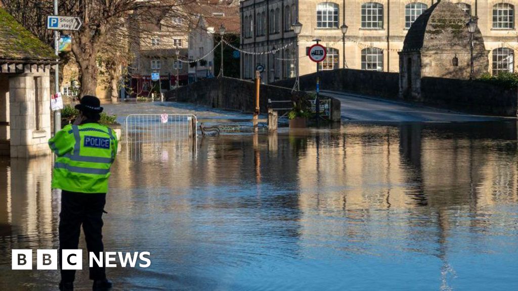
Storm Bert: Fresh weather warnings as clean-up continues

Showers continued through the night on Monday and on Tuesday in parts of south-west England, the north coast of Northern Ireland, north-west England and the coastal counties of Scotland.
Some of these showers are heavy with thunder over the hills.
But through Tuesday evening and overnight another area of low pressure will sweep in from the Atlantic, bringing a spell of wet and potentially windy weather to England and Wales.
On its current track, the low pressure will bring rain north-eastwards across south-west England this evening and then Wales, the Midlands, East Anglia, parts of northern England and south-east England, where it could turn heavy and thundery.
To the north of the rain, across Northern Ireland and Scotland it will be cold with a frost and patchy fog.
There is a chance the rain might turn to snow across north Wales and the Peak District – as it bumps into the colder air – and then as it clears eastern England it might have a sting in its tail, bringing a bout of strong winds.
As much as 25mm more rain is forecast on already saturated ground.


